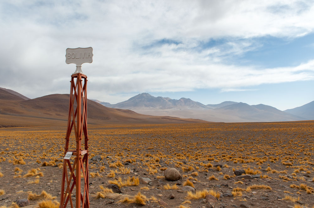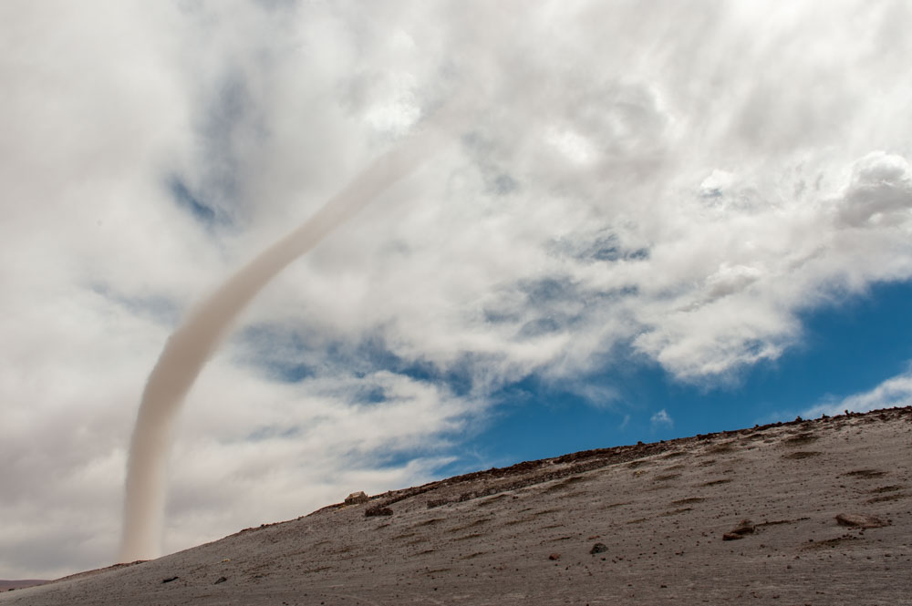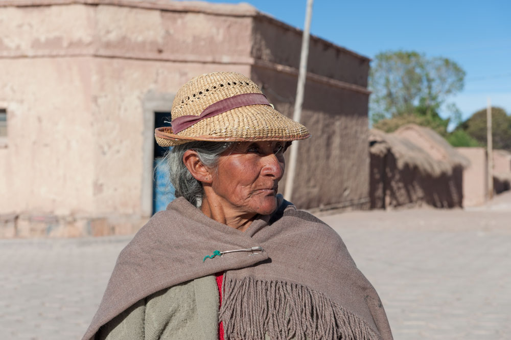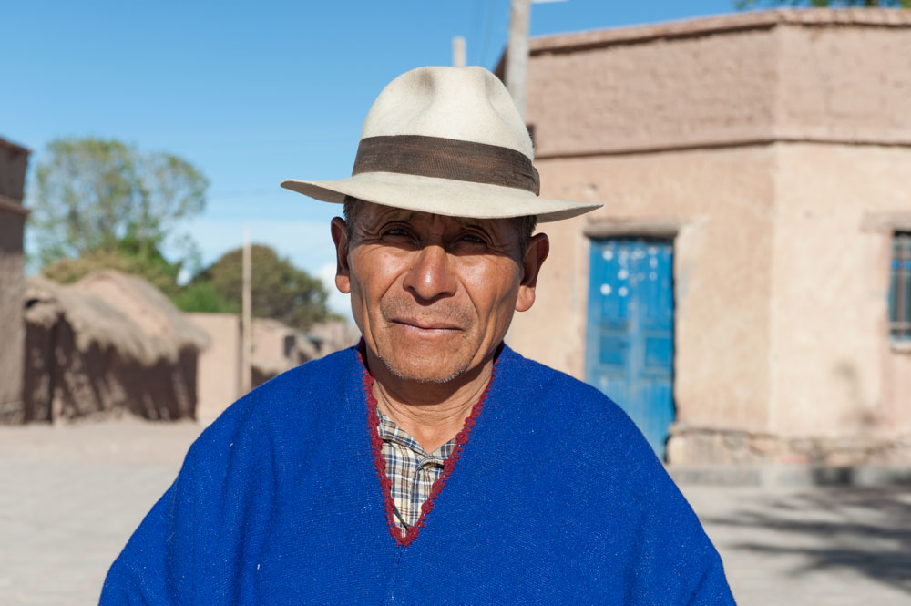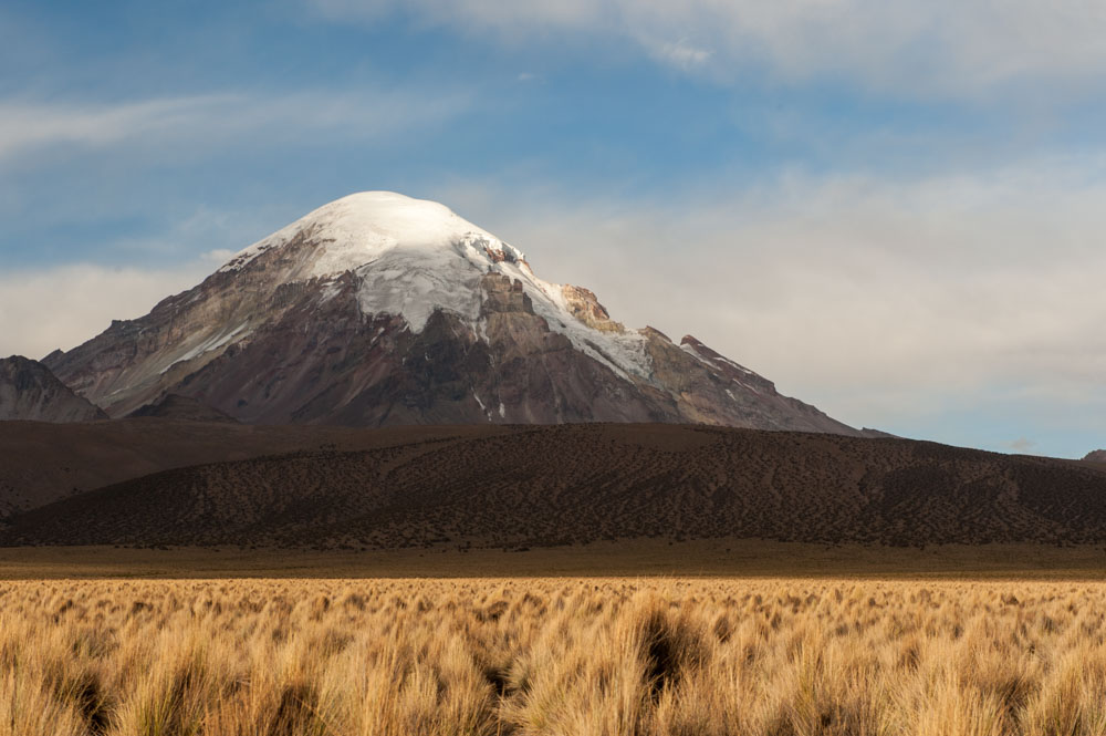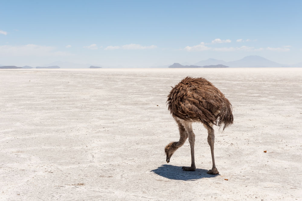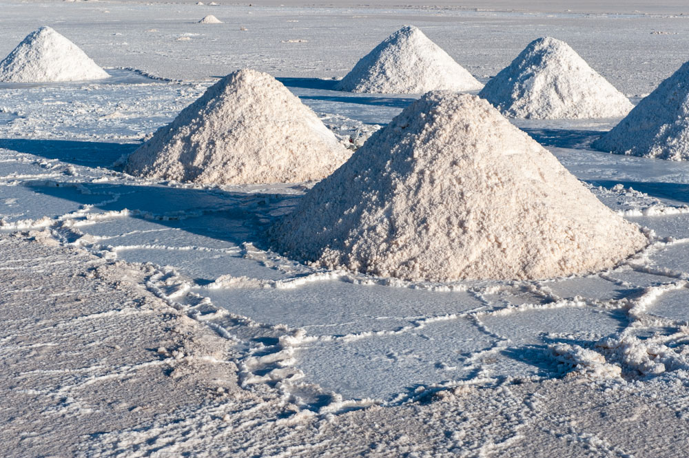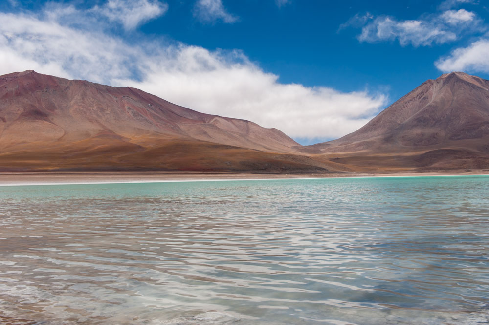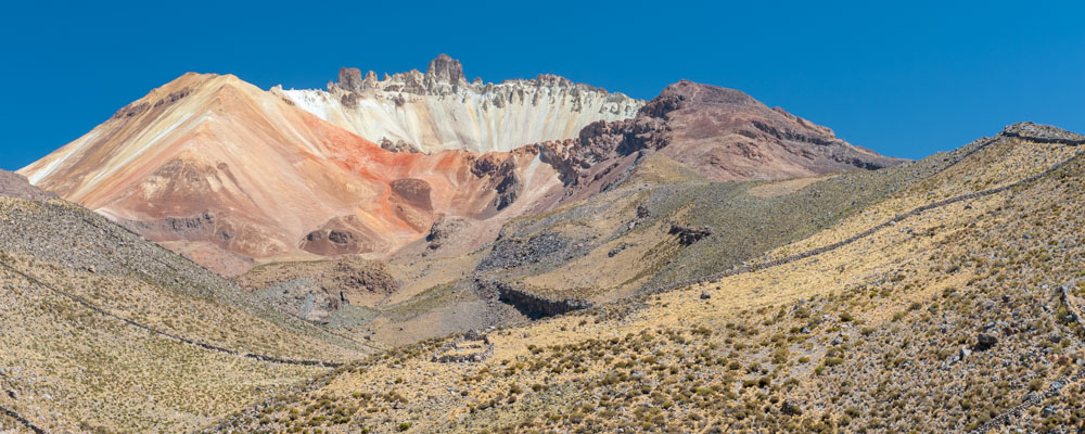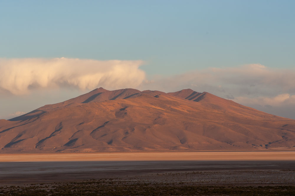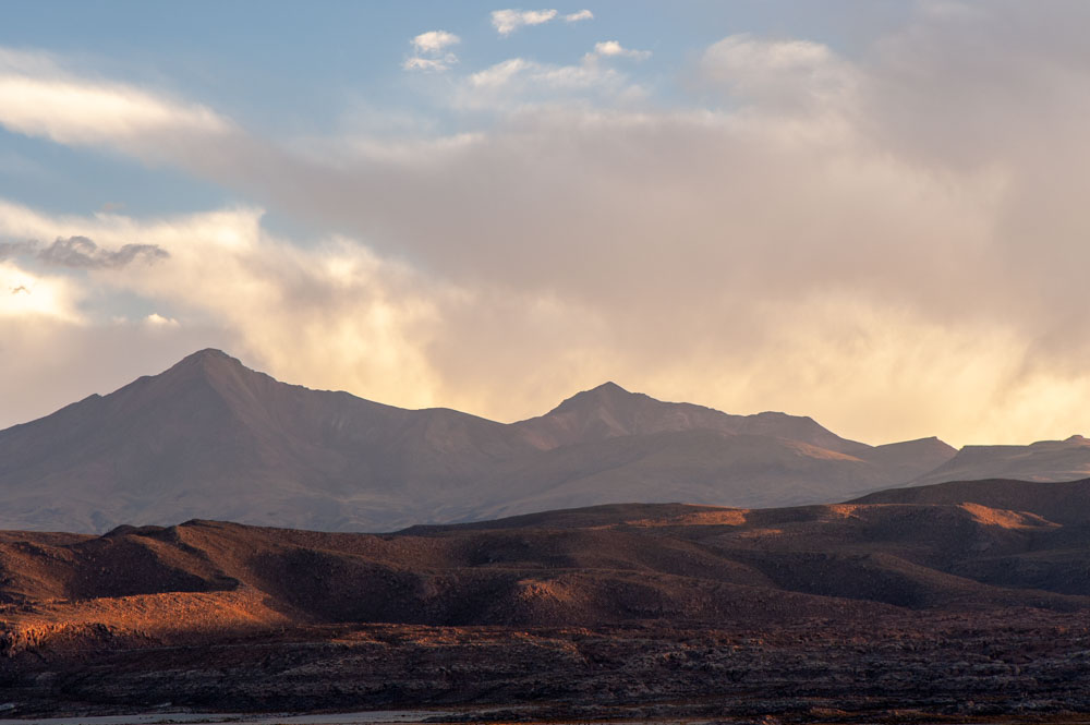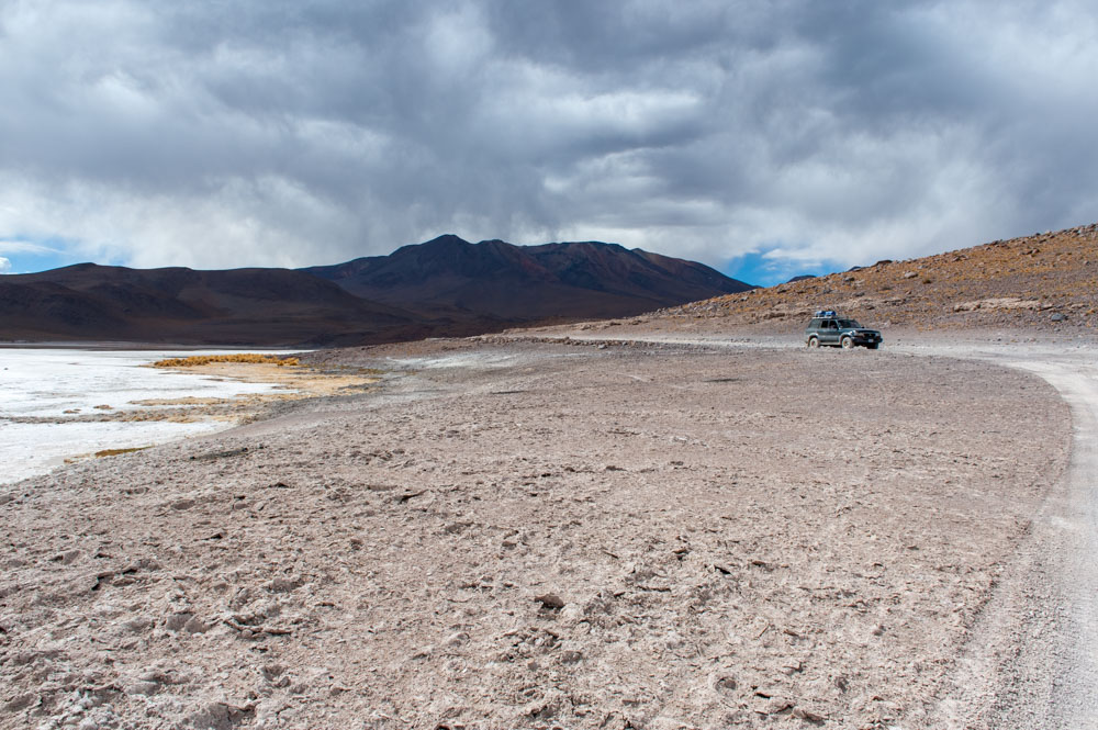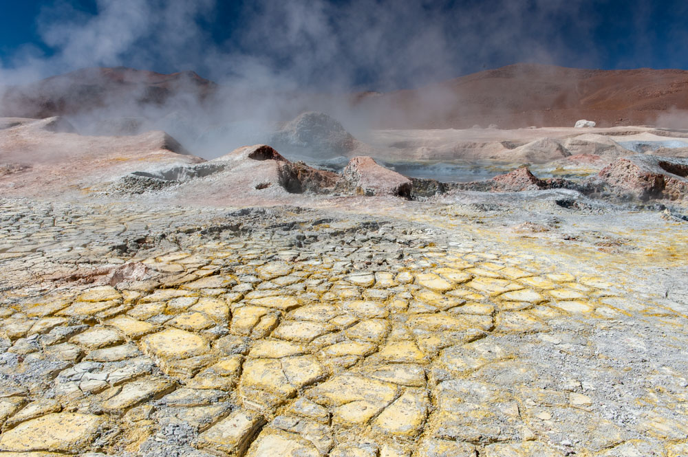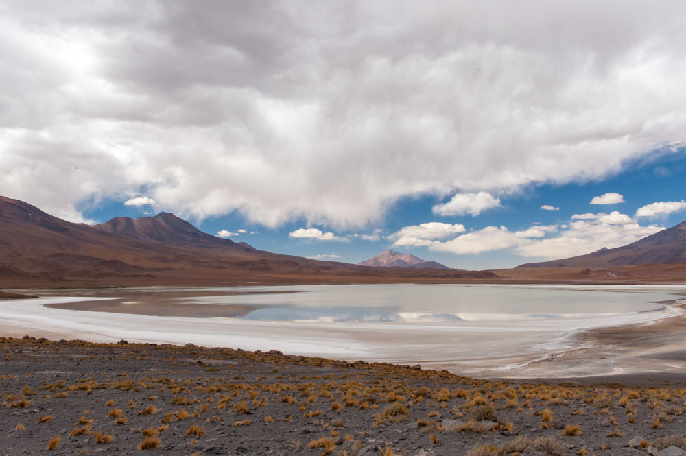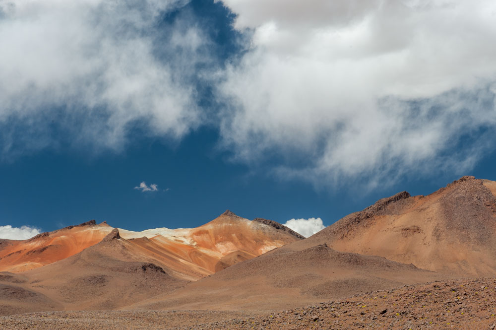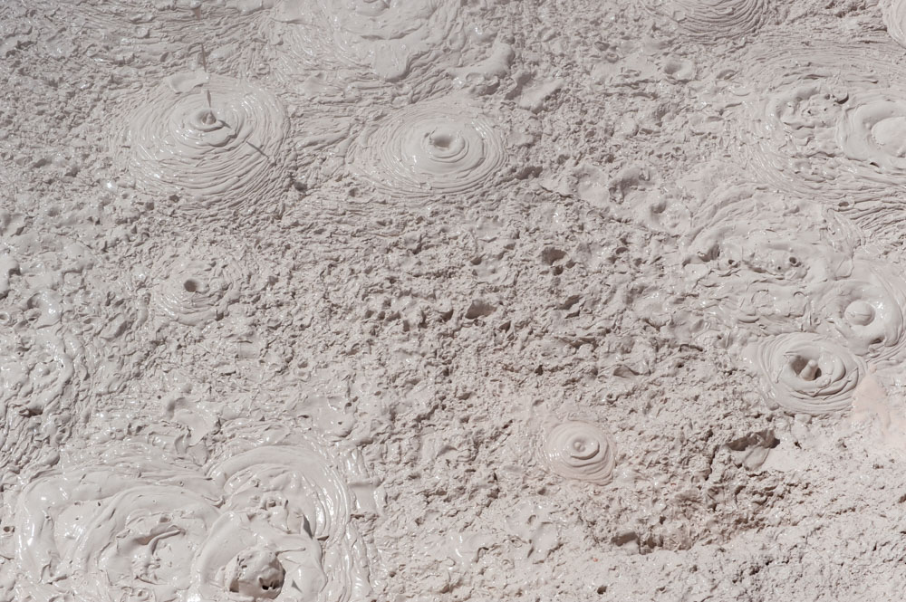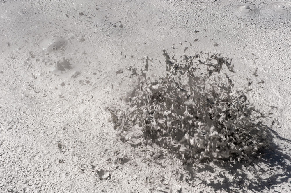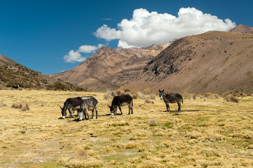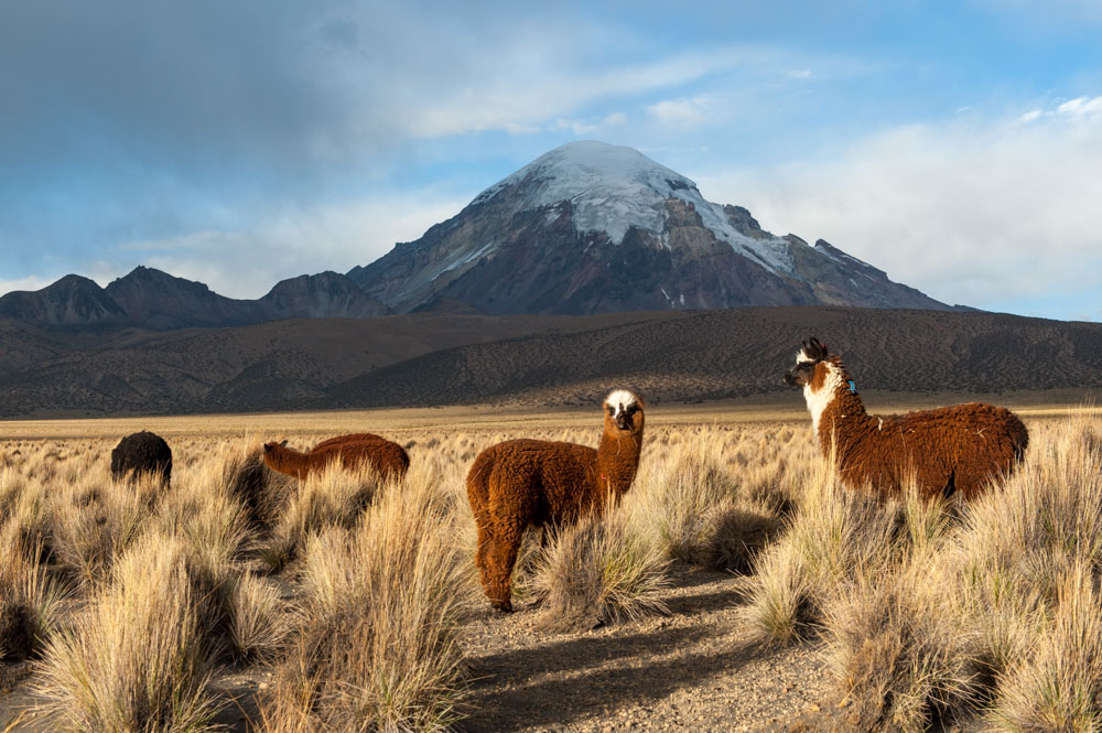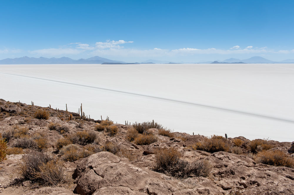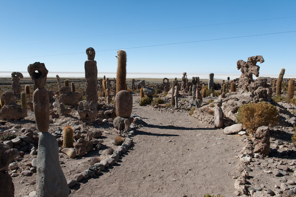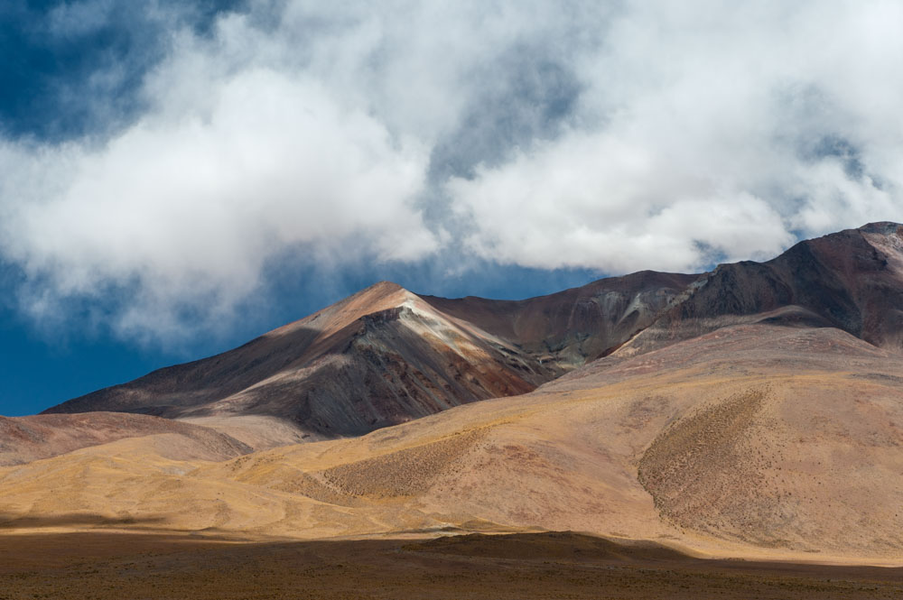


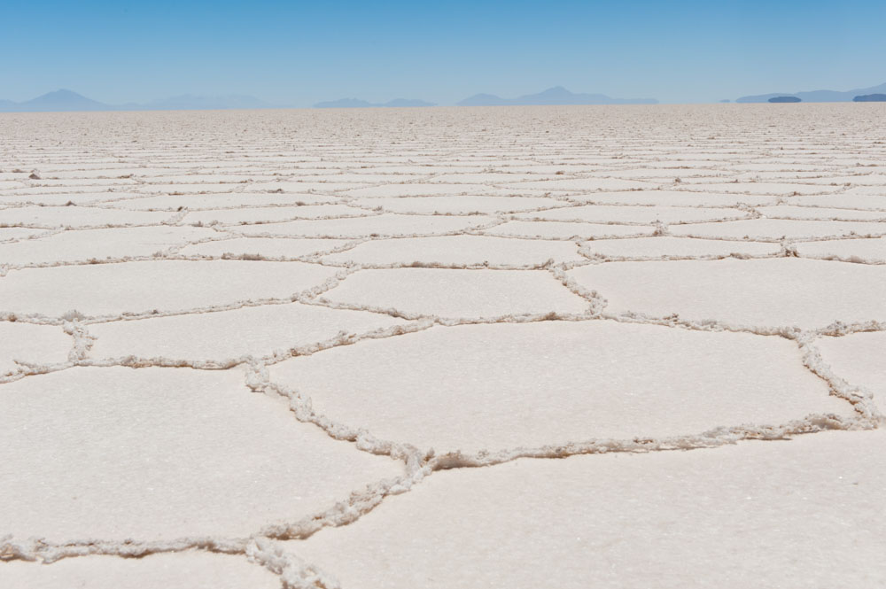
The Altiplano (Spanish for ‘high plain’) lies in the Central Andes, mostly in Bolivia and Peru, while its southern parts stretch into Chile and Argentina. It is the most extensive area of high plateau on earth outside Tibet. Its height averages 3,750 metres (12,300 ft). It is dominated by several large active volcanoes, most of them over 6,000 metres (19,685 ft) high. The area is also home to the world’s highest navigable lake, Lake Titicaca, and to the largest salt flat, Salar de Uyuni. Several cities lie within the area including La Paz, the administrative seat of Bolivia, and Cusco the centre of the Inca Empire, which existed from the early 13th century until 1572 when it was conquered by the Spanish.
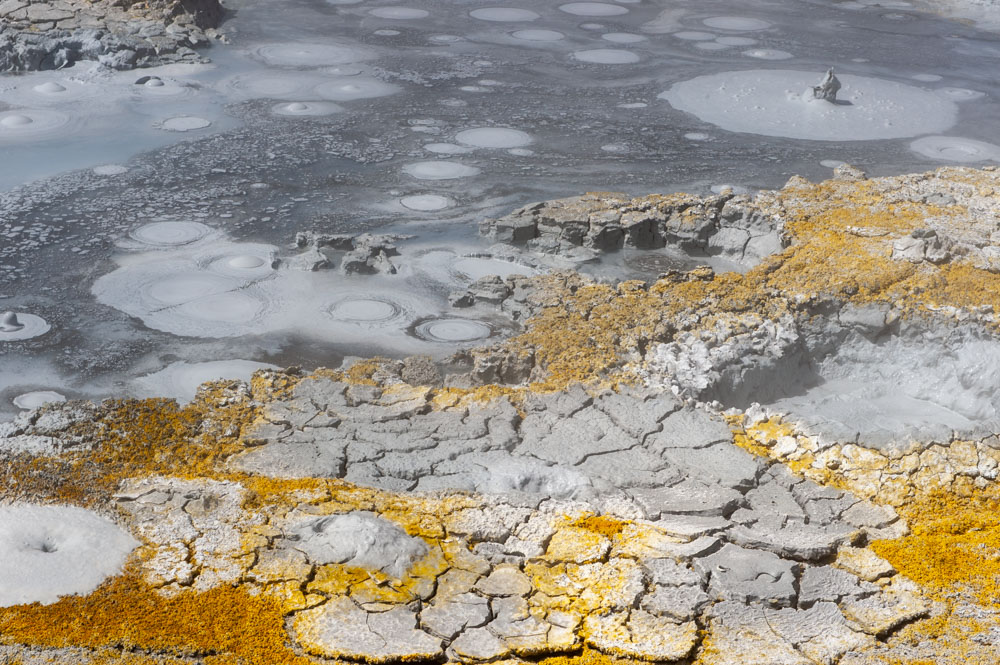
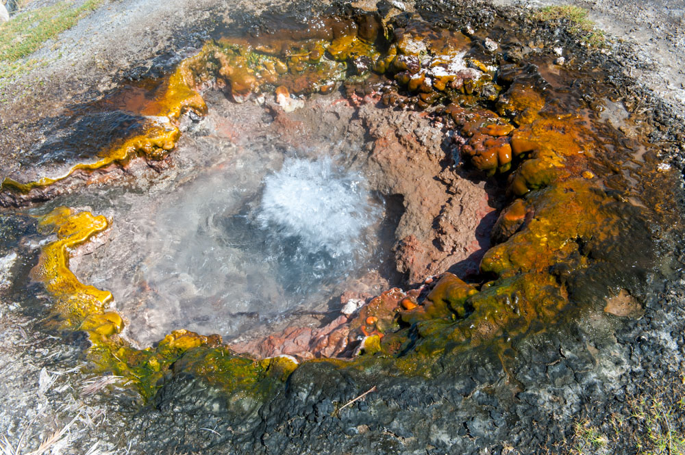
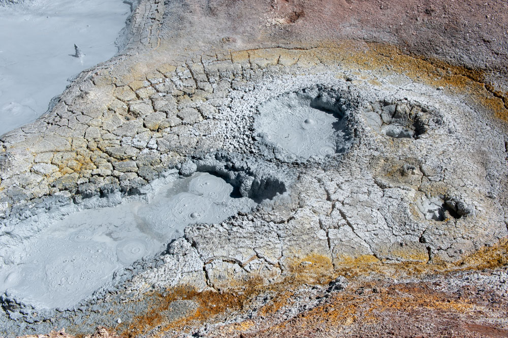
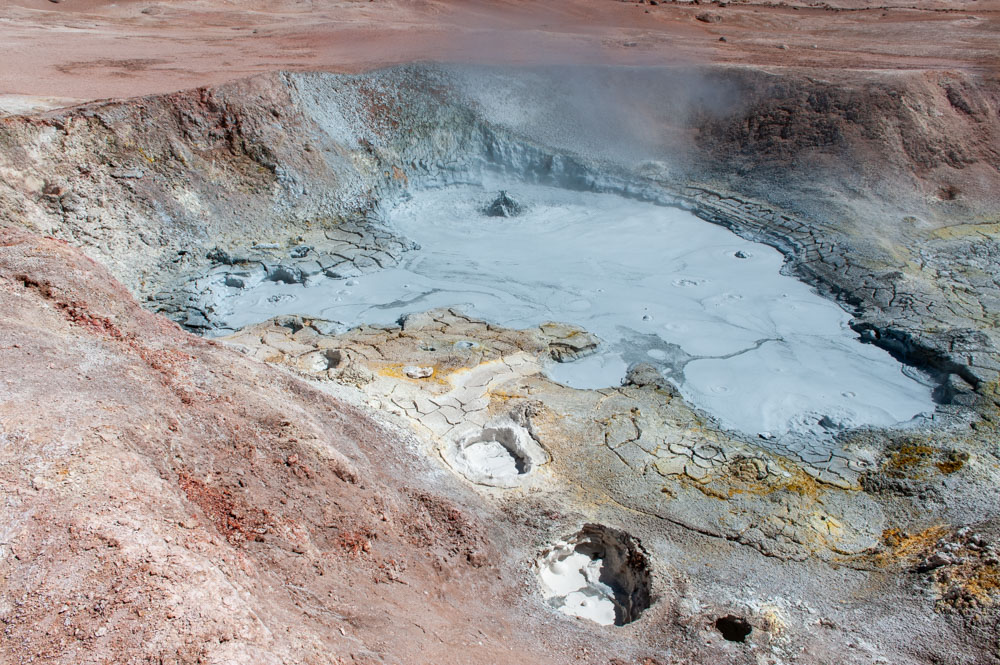
The Altiplano was formed when the tectonic plates of the Pacific Ocean floor and the South American mainland collided, forcing the land upward, creating two Andean ridges separated by the high plain. This high plain, during the Pleistocene epoch, was an area of inland drainage and was covered in huge lakes. After these dried out all that remained was Lake Titicaca and two large salt flats. The intense geological activity beneath the Altiplano has created a rich source of minerals, and silver ore from the area helped finance the Spanish crown for centuries. Mining is still the major source of income.
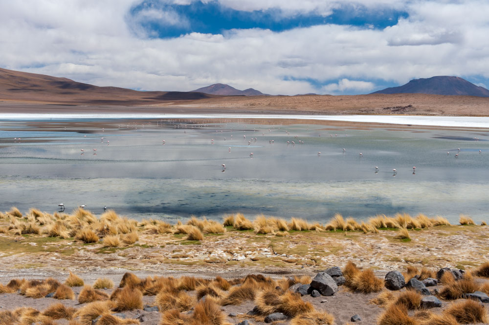
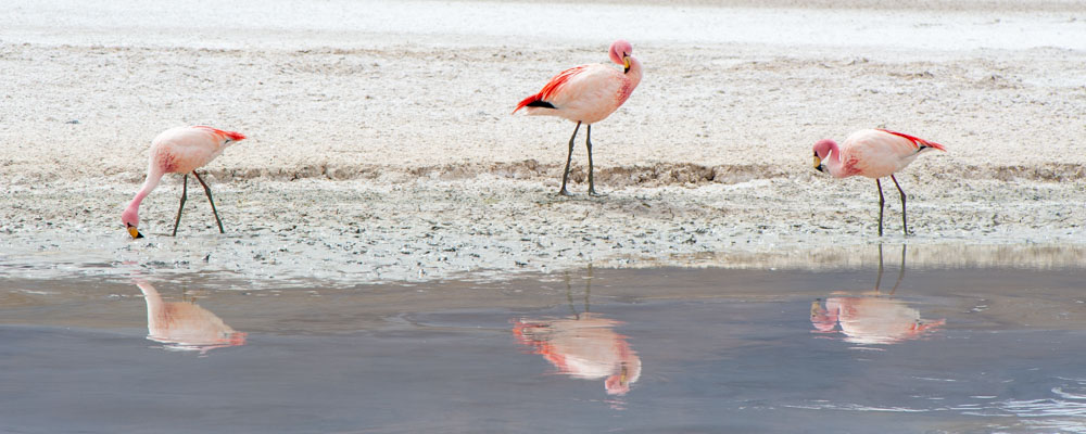
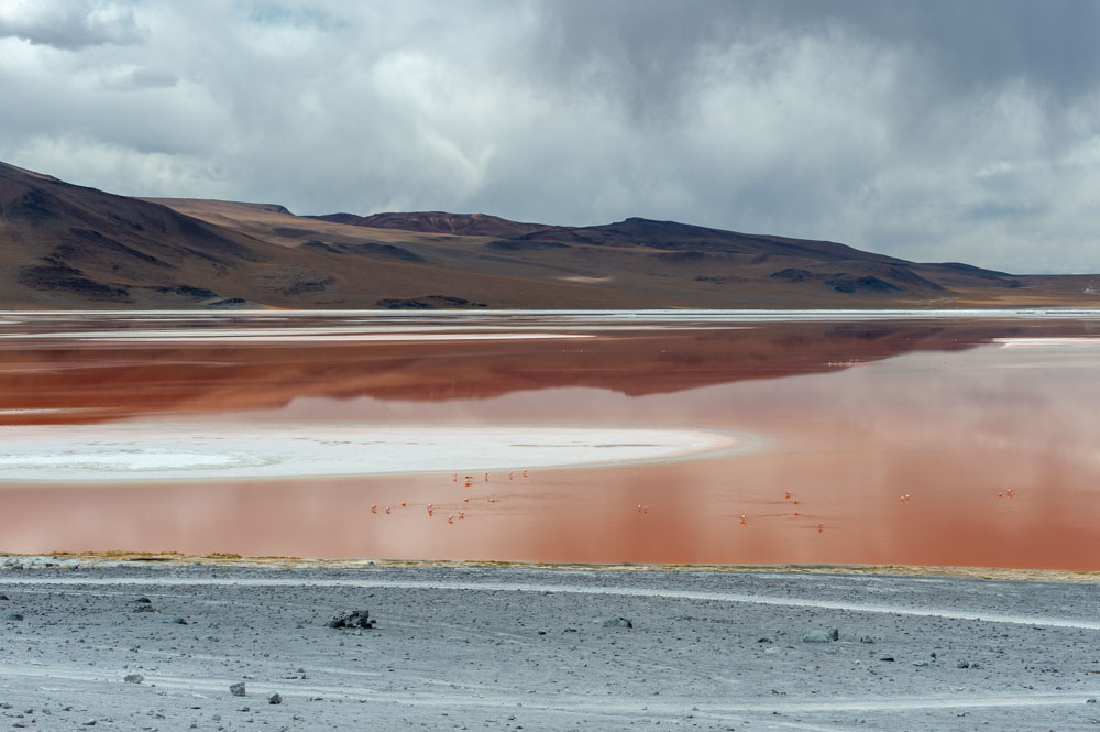
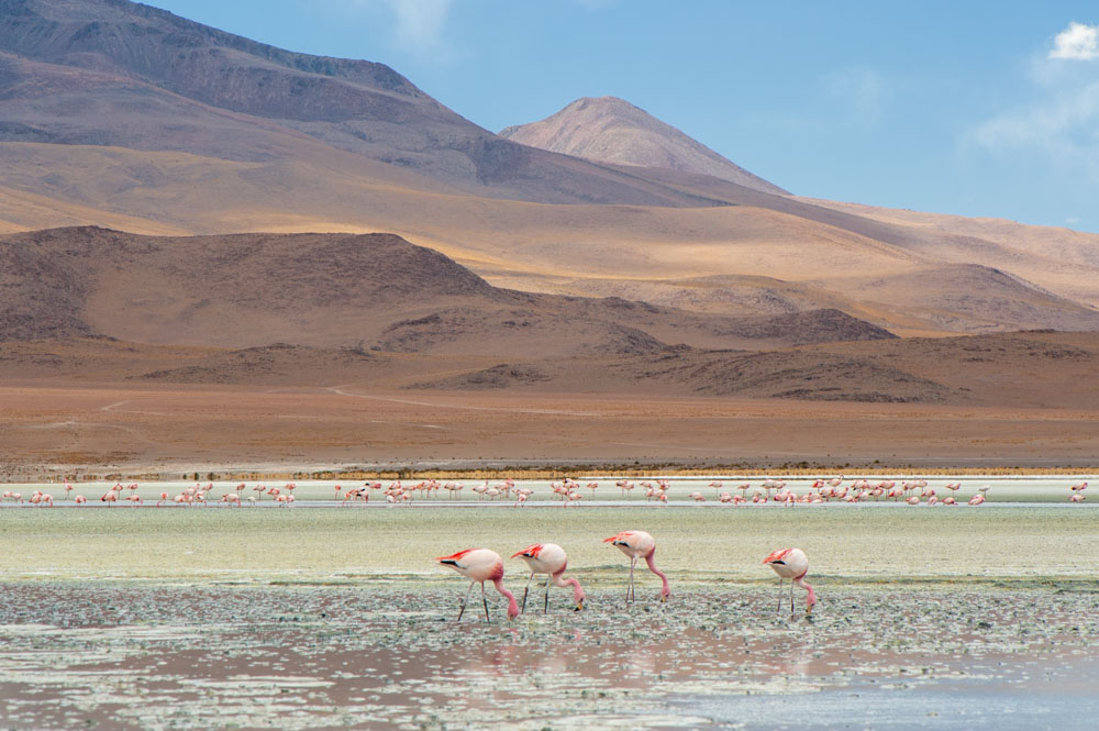
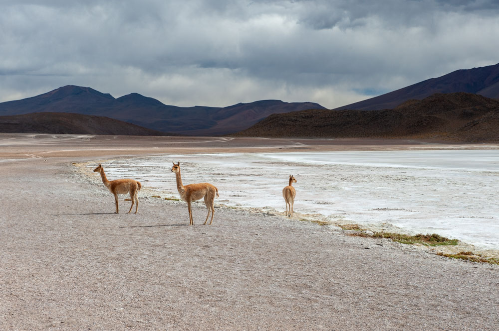
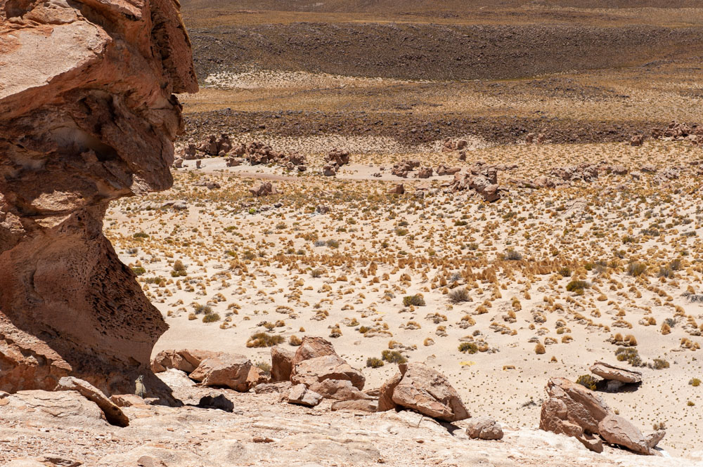
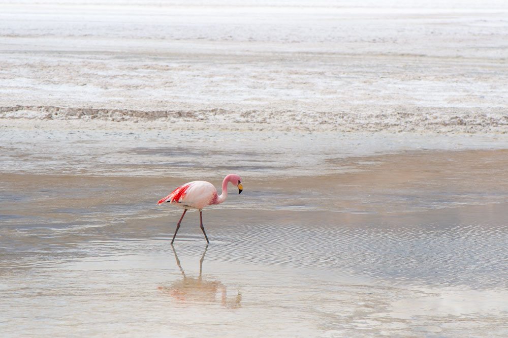
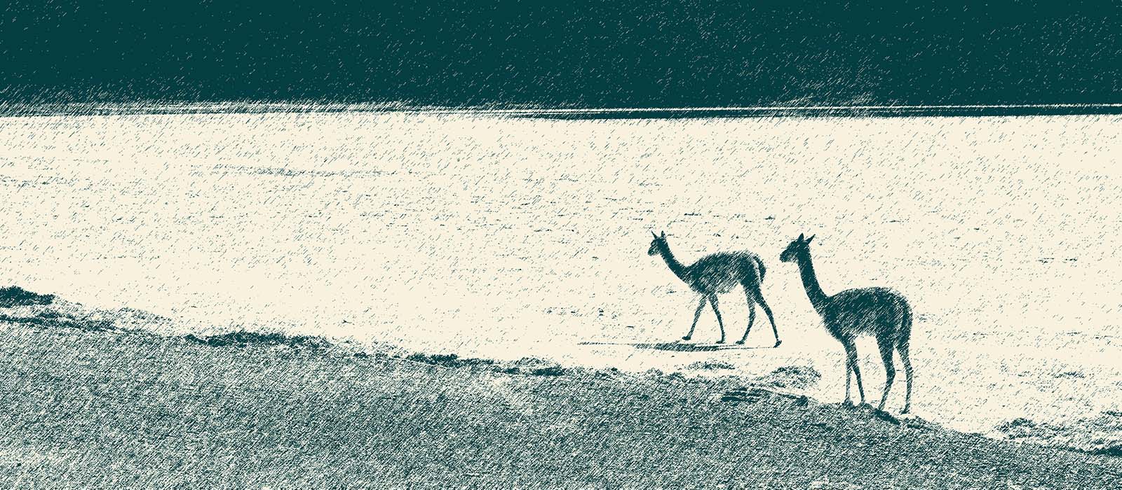
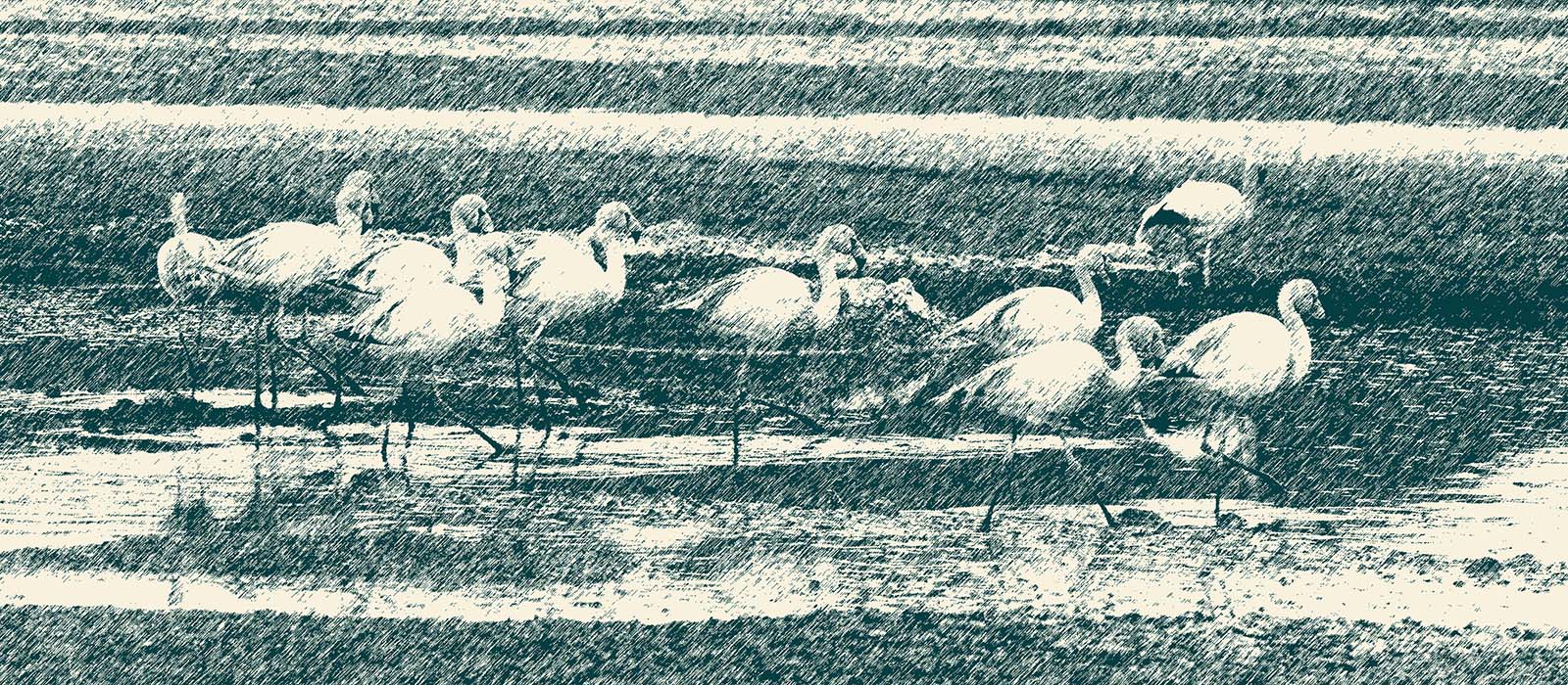
The land is flat and wind-swept and does not encourage vegetation which is mostly limited to grasses and small shrubs. However many animals make it their home, particularly vicunas, alpacas and llamas which are now a valuable source of fine wool, as well as being useful pack animals. The salt lakes are breeding grounds for large flocks of flamingos.
SB
Get in touch for sales, commissions, image licensing and feedback
Gavin John
All images and original text, unless otherwise stated, © Gavin John
AVOID

